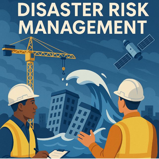
Disaster Risk Management

What is Disaster Risk Management?
Disaster Risk Management (DRM) is a system used to prepare for and deal with natural or man-made disasters. It involves identifying dangers, reducing risks, preparing responses, and rebuilding afterward. The aim is to save lives, protect property, and build safer communities.
In simple words, DRM means being ready before disaster strikes, acting quickly during the crisis, and recovering smartly after the event.
"Disaster risk is not just a threat to safety—it's a barrier to development." — UNDRR
Types of Disasters in DRM
| Category | Examples |
|---|---|
| Natural Disasters | Earthquakes, Floods, Droughts, Cyclones |
| Human-Made | Fires, Oil Spills, Industrial Accidents |
| Biological | Pandemics (COVID-19), Animal-borne diseases |
| Complex Hazards | Famine, War-related Disasters |
Five Key Steps in Disaster Risk Management
DRM is not a one-time act—it’s a cycle of five connected steps:
1. Risk Identification
This is the first and most critical step. It involves:
- Studying past disasters in the region
- Identifying vulnerable populations or buildings
- Using satellite images to map flood zones or fault lines
Case Study: Japan uses real-time seismic data to map areas most at risk of earthquakes. After the 2011 tsunami, it updated its hazard maps using satellite and ground sensors.
2. Risk Assessment
This step measures how likely a disaster is to happen and how bad it can be.
Tools Used:
- GIS Mapping
- Climate models
- AI-based forecasting tools
Example: The European Union’s Copernicus program provides disaster risk assessments through satellite imagery.
3. Risk Reduction
This step is about action. Governments, NGOs, and individuals build stronger systems to reduce impact.
- Enforcing building codes
- Constructing dams, flood barriers, cyclone shelters
- Educating people on safe practices
Case Study: Bangladesh built thousands of cyclone shelters and implemented early warning systems, reducing cyclone deaths by over 90% since the 1970s (source: UNDP).
4. Preparedness
Readiness is crucial. Preparedness includes:
- Emergency drills in schools and offices
- Creating go-bags with food, water, first aid
- Setting up mobile alert systems
Example: Chile practices nationwide earthquake drills every year to prepare its citizens, especially children.
5. Response & Recovery
This step is about rapid action during and after disasters.
- Sending rescue teams
- Providing clean water, shelter, and food
- Long-term recovery: rebuilding, restoring jobs
Case Study: Haiti after the 2010 earthquake received global aid, but poor coordination caused delays. Lessons learned led to better disaster governance worldwide.
DRM Cycle: Explained Visually
[ Risk Identification ]
          ↓
[ Risk Assessment ]
          ↓
[ Risk Reduction ]
          ↓
[ Preparedness ]
          ↓
[ Response & Recovery ]
          ↓
(Repeat Cycle Continually)
Technology Driving Modern Disaster Management
| Technology | Function |
| Drones | Rapid aerial mapping, rescue delivery |
| AI & Machine Learning | Prediction of disasters, real-time alerts |
| Mobile Apps | Warning people, helping locate survivors |
| Blockchain | Transparent aid tracking, corruption control |
| Satellite Imagery | Large-area risk analysis, fire/flood detection |
Notable Example: NASA satellites help track wildfires globally and share data with agencies like Australia’s CSIRO and India’s ISRO.
New Data Trends & Untapped Insights
- Social Media Sensors: Tweets or posts help map crisis zones in real-time (used in Turkey’s 2023 quake).
- Crowdsourced Maps: Local people report roadblocks, water availability, and damage.
- IoT Sensors: Rivers, volcanoes, and bridges fitted with sensors can warn of collapse or eruption.
- AI Heat Maps: Used in California to predict where wildfires may start based on weather and vegetation.
Global Best Practices
| Country | Best Practice |
| Japan | Seismic building designs, tsunami evacuation towers |
| Bangladesh | Early warning systems, cyclone shelters |
| New Zealand | Local community training, mandatory hazard insurance |
| Germany | Floodplain zoning, river restoration |
| Philippines | ‘Project NOAH’ for real-time disaster monitoring |
Summary
- DRM saves lives and money.
- It includes prevention, preparation, and recovery.
- Technology and data make DRM faster and smarter.
- Everyone—from government to citizens—has a role to play.
"Disaster risk reduction is everyone’s business. From local leaders to school children." — UN Office for Disaster Risk Reduction
Final Words
Disasters are growing due to climate change, urbanization, and poor planning. But we are not helpless. With smart strategies, learning from global examples, and using advanced technology, we can build stronger, safer, and more prepared societies.
Be informed. Be ready. Be resilient.